
Mato Grosso increases crop-livestock integration area by 136% in 6 years
Low-carbon system already covers more than 2,6 million hectares in the state
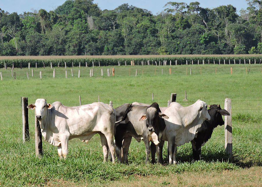
Mato Grosso state increased ILP (crop – livestock integration) area from 1.1 million to 2.6 million hectares between 2013 and 2019. According to Embrapa (Brazilian Agricultural Research Corporation), that means 136,3% more than six years before.
To do that, the GeoABC Project used an innovative remote sensing methodology for mapping large areas and identifying farming models accurately.

The institution states the result is related to research and technology transference programs in partnership with producers in the state.
Proof of that is the greatest concentration of these systems was around Technological Reference Units (URTs, in Portuguese). URTs are specialized initiatives focused on technology validation on private farms.
Farmers themselves drive these URTs based on Embrapa´s team advices and partner professionals. The program, as well, multiplies the model of ILP during technical visits and rural extension professionals.
GeoABC Project
Margareth Simões, researcher at Embrapa Solos (RJ) and specialist on remote sensing in agriculture, says the area of 2.6 million hectares with ILP systems observed in 2019 is equivalent to 5% of the total agricultural coverage in the state.
From a comprehensive series of satellite images, the researchers were able to monitor crop-livestock system areas at Mato Grosso over the last 14 years.
For instance, in 2008, Sinop and Araguaia concentrated the ILP areas exactly because these cities held three URT´s. Over the years, other regions have expanded the model, such as Colíder, in the north of the state, Primavera do Leste and Canarana.
Low-carbon
Integrated agricultural production systems, such as integrated crop-livestock-forest (ILPF) and its variations, as well as the Direct Planting System (SPD), are part of the low-carbon technologies promoted by the ABC and ABC+ Plans from the Ministry of Agriculture, Livestock and Supply.
Due to this, it is imperative to monitor these technologies adoption in order to align public politics and even private sector initiatives. Anyhow, there were no more than general estimates of ILPF adoption previously.
“The advancement in remote sensing techniques, combined with artificial intelligence and big data, has presented great potential for mapping and monitoring complex agricultural production systems”, highlights Patrick Kuchler, geographer who is part of the GeoABC project research team.